

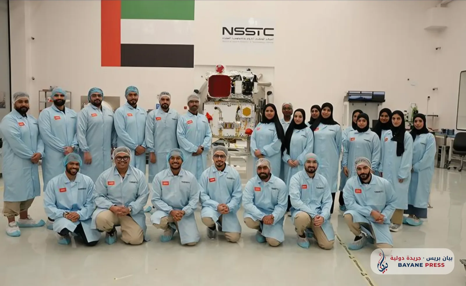
The United Arab Emirates has achieved a new milestone in the space technology sector, as the Arab 813 satellite successfully passed its post-launch assessment review. This scientific and technical step reinforces its readiness to carry out missions related to Earth observation and the monitoring of environmental and climate shifts, as part of a joint Arab project funded by the UAE Space Agency, with the participation of 14 countries under the umbrella of the Arab Group for Space Cooperation.
The Emirates News Agency announced on Wednesday, November 11, 2026, the satellite's success in completing this technical phase, following a series of tests and evaluations aimed at ensuring the integrity of its systems and scientific instruments and their performance efficiency in the orbital environment. The Emirati press continued its coverage of this achievement today, Thursday, November 12.
The 813 satellite is the first joint Arab space project dedicated to Earth observation and conducting environmental and climate studies. The National Space Science and Technology Center at the United Arab Emirates University led its development and testing operations and will oversee its operation from its headquarters in Al Ain, as part of a strategy aimed at building advanced Arab capabilities in satellite engineering and space data analysis.
The satellite was launched into space on December 10, 2025, before undergoing orbital commissioning and the necessary technical checks to verify the stability of its instruments and the quality of the data it produces. Test and calibration images captured by the satellite demonstrated the imaging systems' ability to operate according to the mission's technical requirements.
The satellite features three integrated scientific instruments, most notably a hyperspectral imaging device capable of collecting information across 205 spectral bands, allowing for the analysis of Earth's surface characteristics with advanced precision. It also carries a high-resolution panchromatic camera and an atmospheric polarization meter that helps correct the effects of atmospheric conditions on data extracted from space images.
This technical system enables the use of space information in monitoring agricultural crops, assessing water resources, tracking environmental changes, as well as studying coasts and marine areas, monitoring desertification indicators, and preparing geological maps, thereby supporting decision-making related to sustainable development, natural resource management, and addressing climate risks.
The Director General of the UAE Space Agency, Salem Butti Al Qubaisi, emphasized that the satellite's success in passing the post-launch review marks an important milestone in the path of Arab space cooperation and highlights the participating countries' ability to transform scientific and technical cooperation into practical applications with economic and environmental benefits.
The importance of the project extends beyond technical achievement, as it opens horizons for the exchange of data and expertise between Arab scientific and research institutions and provides participating countries with broader opportunities to develop space applications that serve their developmental needs, at a time when the importance of Earth observation technologies is increasing in the face of climate change, water scarcity, and challenges related to food security.
Passing this phase represents an advanced step in the journey of the Arab 813 satellite and confirms the UAE's growing role in supporting joint scientific initiatives, with the actual value of the project remaining linked to the volume of data it will provide in the future and the extent to which it is utilized in scientific research and developmental applications.




Comments (0)
No comments yet. Be the first to react!